Riverbeds, Deserts and Wildlife

The Road Chose Me Volume 2 OUT NOW!!
The Road Chose Me Volume 2: Three years and 54,000 miles around Africa
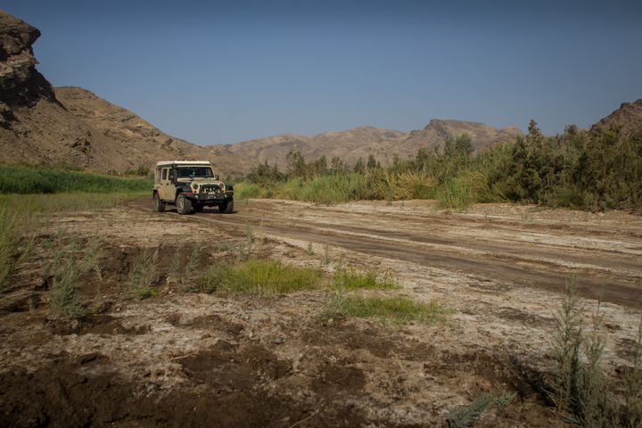
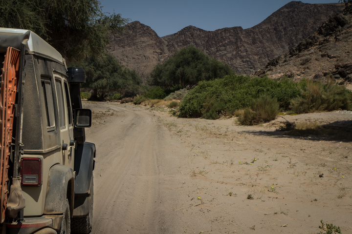
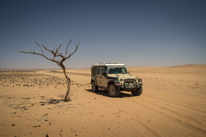
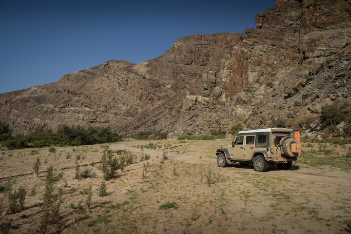
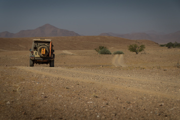
After a resupply of everything we can carry – food, water and all the gas containers topped to the brim – we set off to explore another riverbed. At first there is actually some water, though as we move further West it gets dryer and dryer until I’m driving exclusively through deep sand.
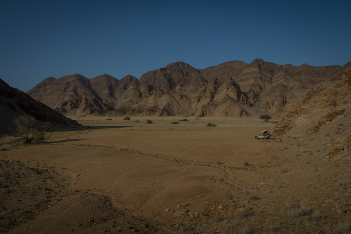
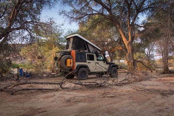
The riverbed is long and we’re in no particular rush. In the evenings we move well away from what little moisture there is to allow the animals to eat and (maybe) drink, finding what is possibly the best campsite of the entire expedition.
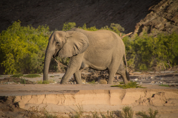
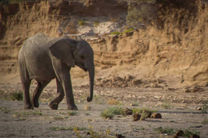
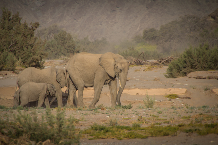
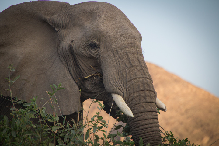
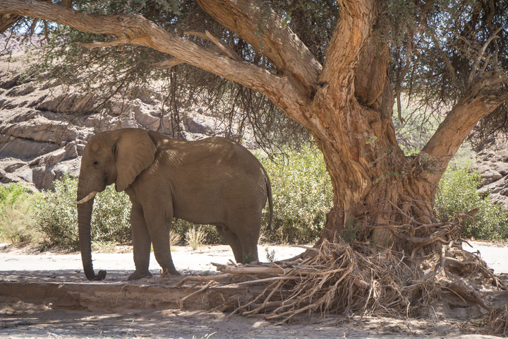
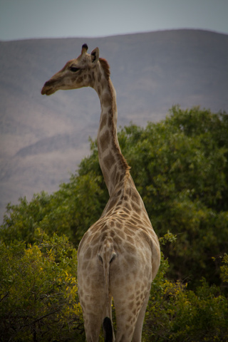
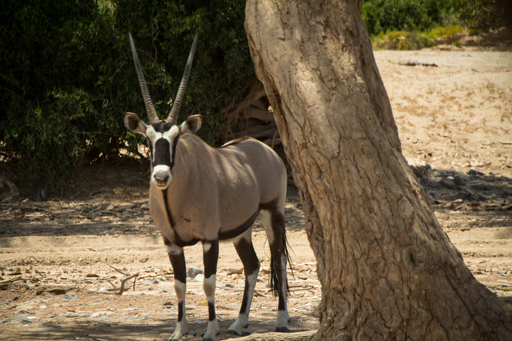
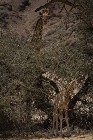
During the days we spot and hang out with multiple herds of elephants, giraffes, gemsbok, baboons and a ton of other small critters. Again it feels amazing to just sit and watch a herd of elephants slowly move along the riverbed at their own pace. They are completely unfazed by us, and I love that they actually live here.. there are no fences, and there certainly are no other vehicles or tourists.
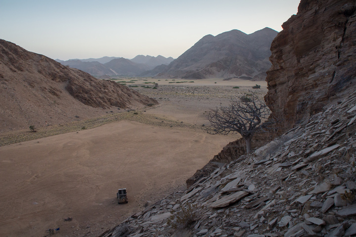
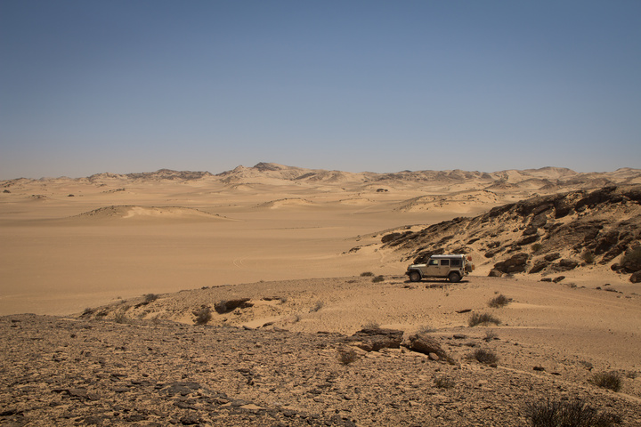
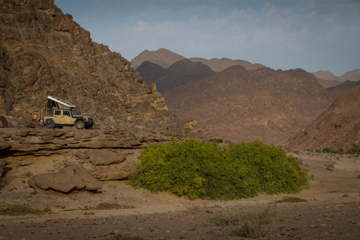
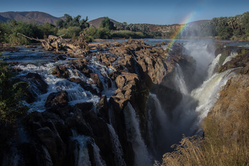
At the Western end of the riverbed we drop back into the Namib Desert for a stretch before we loop around and drive in the Western end of a different river, this one much greener and with actual pools of water. Again we see numerous animals and find another spectacular campsite overlooking the whole riverbed.
I feel extremely lucky to have spent so much time out in the wilderness with so many spectacular animals.
-Dan




Hi Dan
I contacted you about two weeks ago asking for details on were your photos were taken, because I am traveling in that direction. I may make it to the crater by tues the 6th. This dry river you were in is just what I was hoping to find. Could you give me some clues to were it is?
Thank you Don
Hi Don,
These photos are all taken in the riverbed that goes south from Sesfontain, the one that has “elephant song camp” in it. (sorry, I don’t have maps with me now). Go down that riverbed towards the coast, then cross the desert and come up the riverbed that comes in the bottom of Purors. It’s a spectacular loop. Might be wet right now, you need to be VERY careful with flash floods. If it’s raining at all, don’t go.
Tracks for Africa has all the tracks perfectly shown, if that helps.
Good luck!
-Dan
Sounds like the Hoanib river bed leading to Amspoort (location of Elephant Song Camp) then across towards Purros.
Hi Walter,
Yep, that’s the one! I went to the very end of the Hoanib, all the way back into the desert before looping around into the Purros riverbed
Have fun!
-Dan
Yeah, good exploration,
Was there myself to where the dunes start and the rock formation are. It actually is alike a mini Okavango Delta, I found it on Google Earth then went to look for it.
Quite dramatic descent into the riverbed after Elephant Song camp then along the formation of wash-outs.
Found Leopard tracks between the rock formations.
Hi Dan
First time with internet conection in a while.
Thank for the advice about the river near Sesfontein, we were up there a few days ago, befor I herd from you, it was very dry. The Hoanid river was mostly dry. We took the 4wd trail up to Umumbaaitje, then to Sesfontein. Elephant tracks but no elephants, so we packed up abd headed off to Etosha were we would see elephants for sure. Came across the cheetah farm late at night, and camped, met Tollie, and his cheetahs, amazing. I think we were just not ment to see elephants this trip, not a one see in Etosha, now heading towards Twyelffonten and on to The Skeleton coast. I realy enjoy your posts thanks
Good luck Don, I hope you see those elephants!
-Dan