Around Kribi
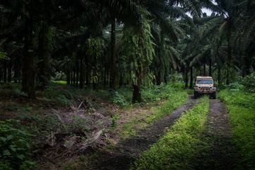
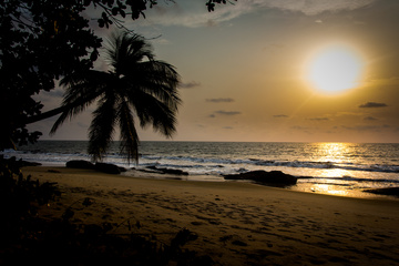
I move South to the beachside paradise of Kribi, one of Cameroon’s most famous. As luck would have it the owner of a massive hotel likes to meet travellers, and I can camp for...
I move South to the beachside paradise of Kribi, one of Cameroon’s most famous. As luck would have it the owner of a massive hotel likes to meet travellers, and I can camp for...
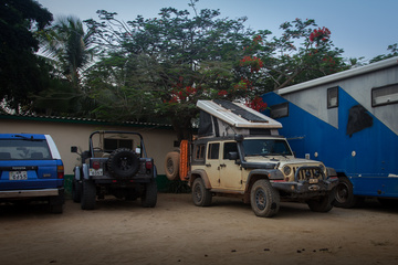
In need of some major R&R I move only a short distance down to Limbé, and the beach at mile 6. This beach has had camping for as long as anyone can remember, and...
I wind my way down from the mountains and into Lomé, the capital of Togo. Right from the start I like the city – it’s much cleaner than other capitals I have been to...
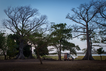
Not far away I find the beautiful Lake Tengrela, and after a quick chat to Francis, the friendly security guard who warmly welcomes me, I pay 1,000CFA (less than $2) to camp right on...
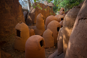
Missing out on Dogon Country in Northern Mali was absolutely a disappointment for me. I have heard it called the gem of West Africa on numerous occasions. The security situation just does not permit...
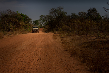
For my last night in Mali I wild camp near a river/rock slide/waterfall not far from the border. It’s in a beautiful clearing, and the few cow herders that wander through wave a friendly...