The Cordillera Huayhuash Circuit Days 1 & 2

The Road Chose Me Volume 2 OUT NOW!!
The Road Chose Me Volume 2: Three years and 54,000 miles around Africa
The Cordillera Huayhuash Hiking Circuit, second in the world only to the Annapurna loop in Nepal, boasts some very formidable statistics:
140km, 9 mountain passes for a total climb of just under 10km, always between 4000 – 5000 meters and all in only 10 days.
I have to give this a try!
The hike is commonly organized in a group of about ten people, with a guide, cook, donkey train and enough gear and food to supply a small army. During the day hikers only wear a small day pack, all meals are cooked and tents are even setup by the guides.
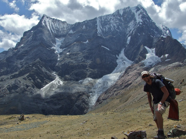
As you might have guessed, this is not my style at all. For me, the only way is with everything on my own back, completely solo.
After a few days resting and gearing up in Huaraz, I wind along bumpy mountainous roads to the tiny town of Llamac, both the start and end point of the hike. I park the Jeep in a secure lot and camp on the town soccer field for the night, organizing and re-organizing my gear, barely able to contain my excitement.
——-
Here I record the notes I scrawled at the end of each day before crawling into my sleeping bag…
Day 1 – 1000 meter ascent / 250 meter decent / xx km / 6.5 hrs
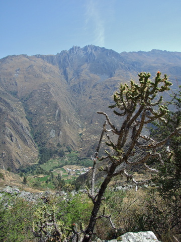
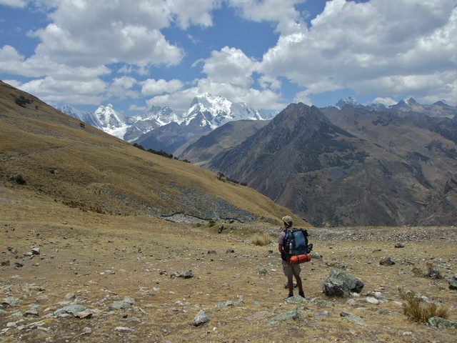
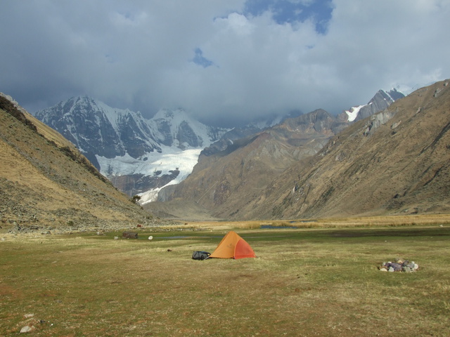
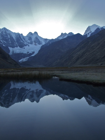
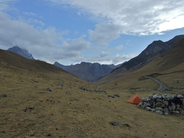
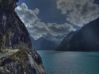
On trail at 8.30am. 1000m climb to Pampa Llamac Pass with heaviest pack of life. Food for 10 days. Very hot, dry canyon with sunburn and cacti. Camp at beautiful lake (Laguna Yahuacocha). Get good info from couple just finishing. Discover hole in Thermarest in the night, wake 5 times to blow it up.
Damn cacti.
Day 2 – 700 meter ascent / 550 meter decent / xx km / 7 hrs
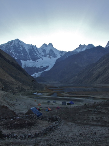
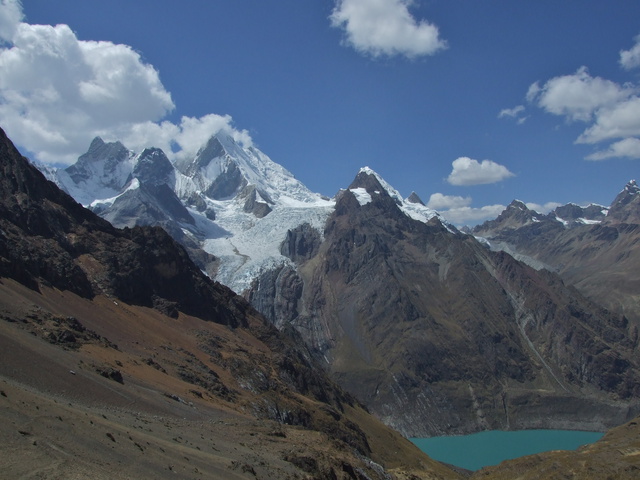
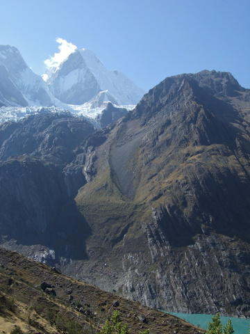
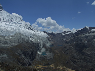
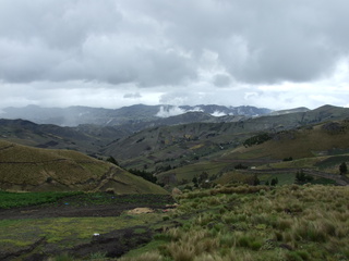
Thick ice on tent at 6am, walking at 7. 700m climb first thing, above a glacial lake (Laguna Solteracocha). Very hard and slow going. Legs and back very sore. Punta Rondoy (4750m) beautiful. Very slow down. LONG walk down valley after lunch, small concern when km markers on road don’t match, 10 mins later at Matacancha campsite (2pm). Lots of time left in day. No energy.
Big group of Israelis arrive with all the gear, who will be shadowing me from now on.
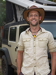
-Dan




Amazing pics man,look like your having a blast!
amazing hike – want to do it next year. Where did you get maps from? how well marked is the trail? cheers
It’s one of the best I’ve ever done.
I actually just photocopied the map from the Peru Lonely Planet.
You can buy one in hiking shops, but it’s crazy expensive and I don’t think you need it.
The trail is not marked at all, but donkey trains are on it all summer, so it’s very well trodden and easy to follow.
Good luck, have fun!
-Dan
Nice. Thanks for the data. What did your pack weigh for this? I recently did Choquequirao to Machu Pichu with 38 lbs. Probably too much. Any farmers on the way in Huayhuash for food?
No worries.
I didn’t weigh my pack, but it was the heaviest of my life for sure. I’m guessing 45-50lbs. The first 3-4 days were really hard with that much weight.
There is one town directly on the route where you can buy supplies, and there is another that adds a day to the circuit, and I met a couple that went there for food and fuel, and it has a hotspring!
It’s a beautiful place. If I went back, I’d probably make it 15 days, doing all the little side trips to towns along the way.
Have fun!
-Dan