The Dempster Highway Fall
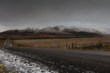
Dan, Heather and Rusty drive well into the Arctic Circle on the famous Dempster Highway.
Dan, Heather and Rusty drive well into the Arctic Circle on the famous Dempster Highway.
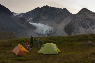
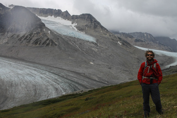
Dan, Heather and Laura hike into and camp overnight at Samuel Glacier, on the Haines Pass
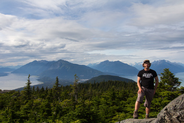
Dan, Kenny and friends spend a weekend in Haines at the South East Alaska State Fair
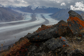
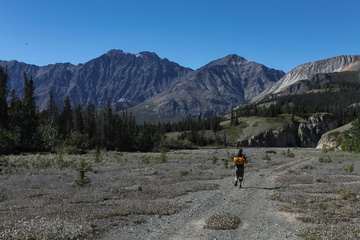
Dan and Heather hike into Kluane National Park along the Slim’s River West trail, up Observation Mountain for a view of Kaskawulsh Glacier
Dan and Heather hike into Kluane National Park along the Slim’s River West trail, up Observation Mountain for a view of Kaskawulsh Glacier