Category: Canada
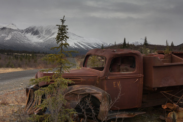
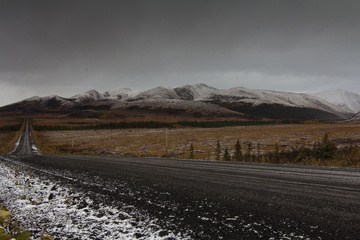
The Dempster Highway Fall
Dan, Heather and Rusty drive well into the Arctic Circle on the famous Dempster Highway.
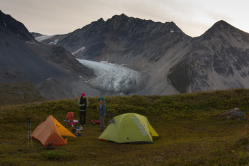
Samuel Glacier Overnight Hike
Dan, Heather and Laura hike into and camp overnight at Samuel Glacier, on the Haines Pass
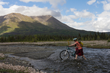
Biking the Cottonwood Trail in Kluane National Park
Dan, Josh and Heather bike the 85km Cottonwood Trail inside Kluane National Park
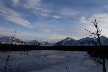
Hiking near Kluane National Park
Dan and friends hike into a little known cabin on the edge of Kluane National Park